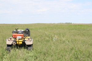
While I was working at the Arrowwood National Wildlife Refuge (NWR), I employed the belt transect method on Waterfowl Production Areas (WPA), Wildlife Management Areas (WMA), wilderness areas, and native prairie areas on the Arrowwood NWR. The surveys started in arcMap, where I plotted random points within the bounds of the park determined by the acreage of the management area. After the placement of those points, I then created random directional lines (bearing headings) coming off the points.

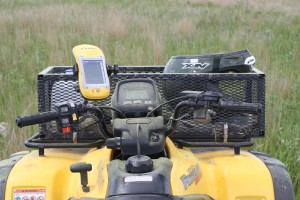
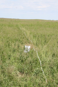
In the field I would go to the random point using a Trimble GPS unit and find the bearing using a compass. Then a 20 meter long tape was run in the heading direction of the plotted line. Along the line, each meter, I would develop invisible quadrants one meter by one meter. In each of those quadrants I had to look at the makeup of the plants and forbs and determine what percentage of that quadrant was being inhabited by native prairie plants, or invasive grasses and forbs.

During this time, I usually had a conservation corps volunteer recording the data as I scoured along the transect line. I would call out a designation number, such as 2 – Kentucky Blue, which meant that the greatest percentage of cover in the quadrant, was Kentucky Bluegrass.

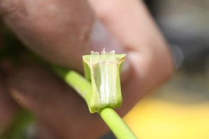
During this job I learned quite a lot on identifying forbs and grasses. I started creating a ligule guide, but couldn’t find all the grass species I needed to make a complete catalog. The ligule is the portion of a grass stem where the leaf extends away from the stem. This sheath portion is called the ligule.

Another part of that job was identifying forbs. I took many pictures of all sorts of forbs. You can find them here in another post.
