Mesocosm

A mesocosm is a purpose built micro-environment used to study the effects of a closed controlled ecosystem on an organism. I had setup some large mesocosms at the Buffalo River Science Center before I graduated from MSUM. They were built to house Anax junius members, a dragonfly species, to study the effects of a changing environment. However, before I could get the research started, I was graduating, but they were setup so someone else could continue where I left off.

mesocosmfill
Filling the Mesocosm

This experience helped me prepare some mesocosms while studying the life history of the Mohave Tui Chub with a post-doctoral student. At the Desert Studies Center, Zzzyx, CA, we setup several large water troughs inside the lake (to keep those environments as close to their natural habitat as possible), and also several water troughs outside Lake Tuende.

mesocosm
Wire mesh was added to the top to prevent bird predation of the endangered Mohave Tui Chub

These water troughs were filled with filtered water from Lake Tuende and then populated with the Mohave Tui Chub and in a select number of them the mosquito fish. Each was covered with a wire mesh to prevent predation.

Lake Tuende
Lake Tuende


Land Cover Survey

Land cover survey work is pretty dead simple, but you have to be able to identify all the different farm crops and ecosystems throughout North Dakota and South Dakota. My primary area of survey was West River, meaning west of the Missouri River.

The National Land Cover Database (NLCD) requires that the data be updated occasionally, and I had the pleasure of being one of the technicians that were able to perform this survey.

It consisted of driving to a random smattering of points and recording what the land cover use was. This was one of my favorite surveys because I got to go into very remote areas of ND and SD. The Dakotas have expansive grassland areas where you can get so removed from civilization you don’t see power lines, phone lines, homes, or even roads. Buffalo Gap National Grassland and the Little Missouri National Grasslands are two of the notable big ones.

I also got to truck through some of the forest service roads in the Black Hills of SD to record data. Since I’m an accomplished 4×4 driver, I wasn’t hesitant about doing so. There were several times that I ran across ATV riders who couldn’t believe I got such a large vehicle into some of the spots I had to make it into.

Take note of all the different ecosystems you see in the pictures below. ND and SD have a lot of very beautiful and scenic landscapes.

Expansive grassland area
More South Dakota rock features
Prairie left alone since the Dust Bowl period
Black Hills area
Black Hills area

nlcd4

Aspen wooded area in Black Hills
Succulent from high dry prairie area
Dry prairie with succulents
Transitional badlands
Black Hills buttes and bluffs

Invasive Weed Identification

During my survey work, anytime we notice a noxious weed, we were required to report it so the plants could be eradicated or controlled. Most of these are high adaptable and can easily take over an area, or are harmful to livestock or overrun native areas. A few of the notable noxious weeds that we would typically run across on managed land are: Canada Thistle, Burdock, Field Bindweed, Knapweed, Leafy Spurge, Toadflax, and Wormwood. Most of these are controllable and don’t cause huge amounts of damage, but Musk Thistle and Houndstongue (usually cattle distributed) can cause quite a problem.

Toxic to cattle, the houndstounge needs immediate eradication

I’m only focusing on forbs here, but there are several grass species that have been purposefully introduced for CRP programs or old farm fallow fields. These species, such as Smooth Bromegrass, have probably done more damage than the noxious weeds have to native soil. When construction work is done or roads are built, they also plant a non-native mix of highly adaptable plant species that can be easily seen invading native prairie areas. Native prairie should appear as a patchwork of many different species. Sod forming grass species are not as common the the short and mixed grass prairies, so anytime you see a mono-cultural looking area, it’s likely Smooth Bromegrass with dispersed Kentucky Bluegrass.

A very uniform looking landscape composed mostly of smooth brome
A very uniform looking landscape composed mostly of Smooth Bromegrass

Many management techniques are used to control these areas such as spring burning and summer grazing. Areas that I worked on in Arrowwood were making a pretty good recovery using winter seeding and other seed dispersal techniques along with grazing and prescribed burning to recover the areas of the refuge that had a high amount of invasive species present.

A newer biological control that is being used to help with the spread of Leafy Spurge is the Flea Beetle. They have done a good job at preventing full field takeovers of this noxious weed.

Biological control of the Leafy Spurge plant by Flea Beetles
Flea beetles attack the root system of the Leafy Spurge. Farmers are given the beetles for free, and then in the spring are asked to sweep net them and distribute them to other farmers in the area that have a spurge problem

The publication ID and Control of Invasive and Troublesome Weeds in North Dakota is a good photographic guide is a good resource if you want to see other noxious weeds.


Horizontal Water Sampling

This sampling technique is great for surveying various depths in a body of water. You lower the opened horizontal cylinder down into the water at the depth you want to sample and let loose a weight. The weight travels down the string that hits a switch which closes the ends (through a rubber elastic band). This technique is great for giving you a representative sample at a specific depth. The design of the contraption is pretty much always similar to these.

While I was studying the life history of the Mohave Tui Chub in California, we used this technique to survey the zooplankton distribution in Lake Tuende and MC Spring.

Lake Tuende at the Desert Studies Center

Georeferencing

Georeferencing is a method of overlaying aerial imagery on top of already made maps. The HaPET office I was working for used these maps to follow wetland easements. Aerial imagery was taken every year as separate pictures and need to be matched up to the terrain. This was done in arcMap. They have a georeferencing tool that allows you to pick points on the aerial image and pick a matching point on the known map allowing you to precisely line up the image.

This is a very powerful way of monitoring wetland drainage and to look for changes in land cover. Here is a written tutorial on the process.

Landowner Communication

Communication between the US government and rural land owners hasn’t always been the most smooth. Even with recent events, such as the Oregon, Mlaheur National Wildlife Refuge standoff, there has always been animosity towards the government prying in the private affairs of rural farmers and ranchers.

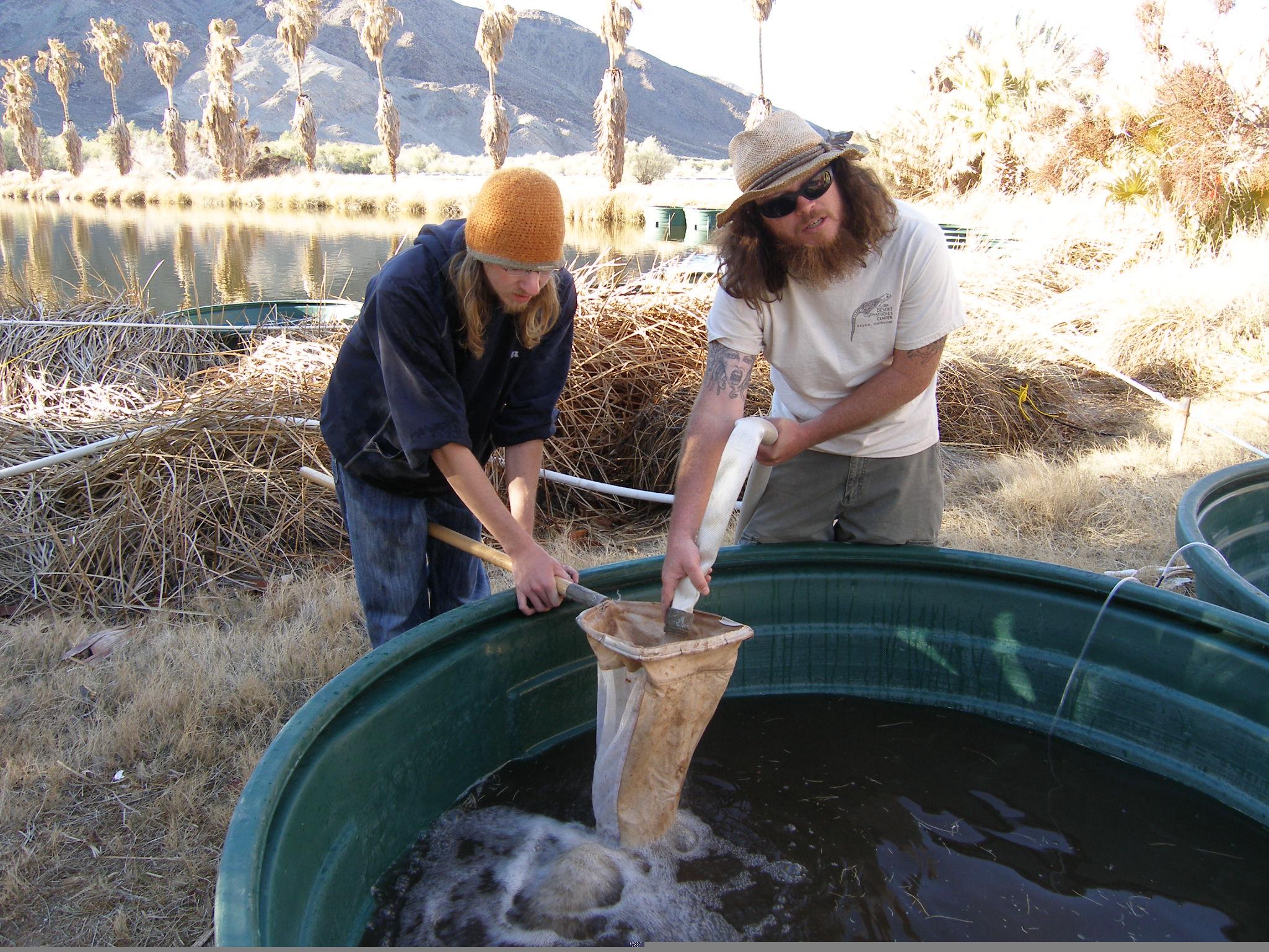
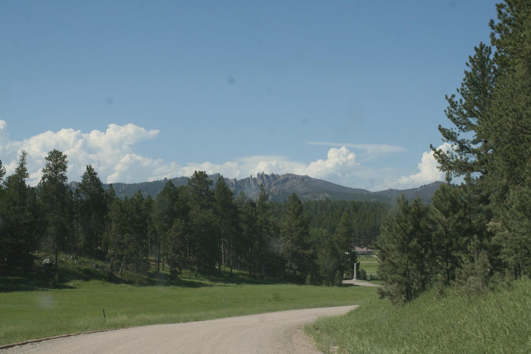
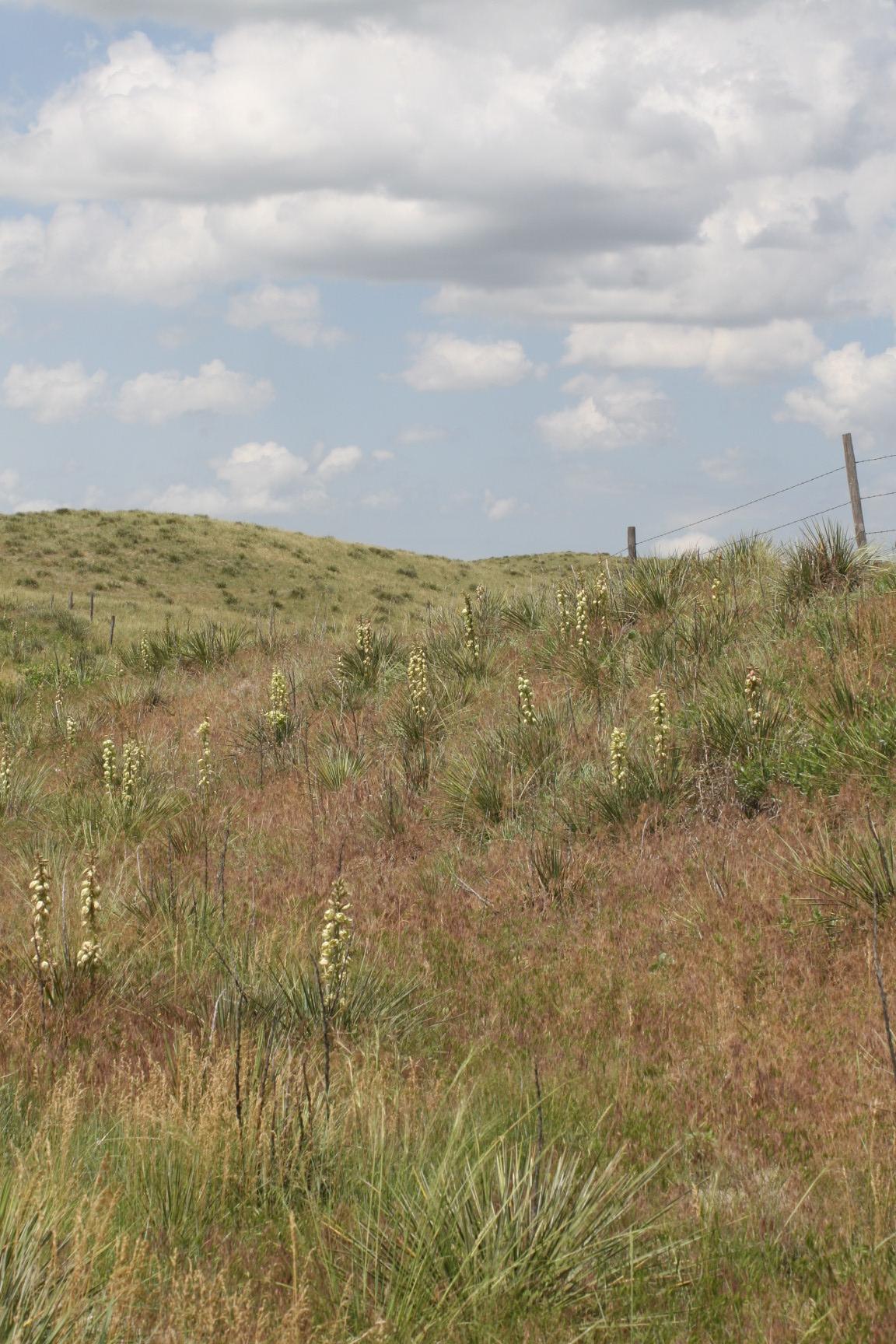
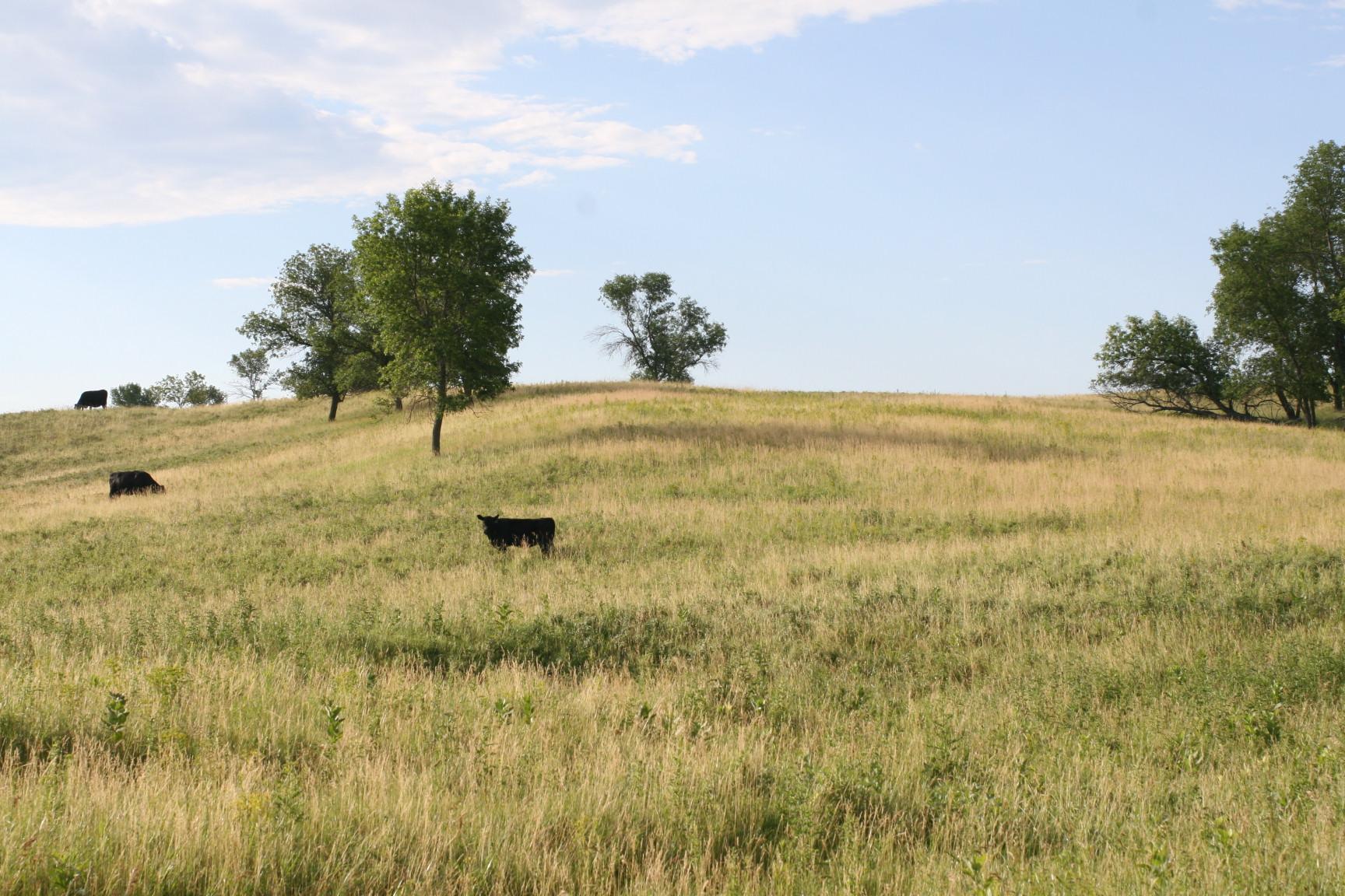
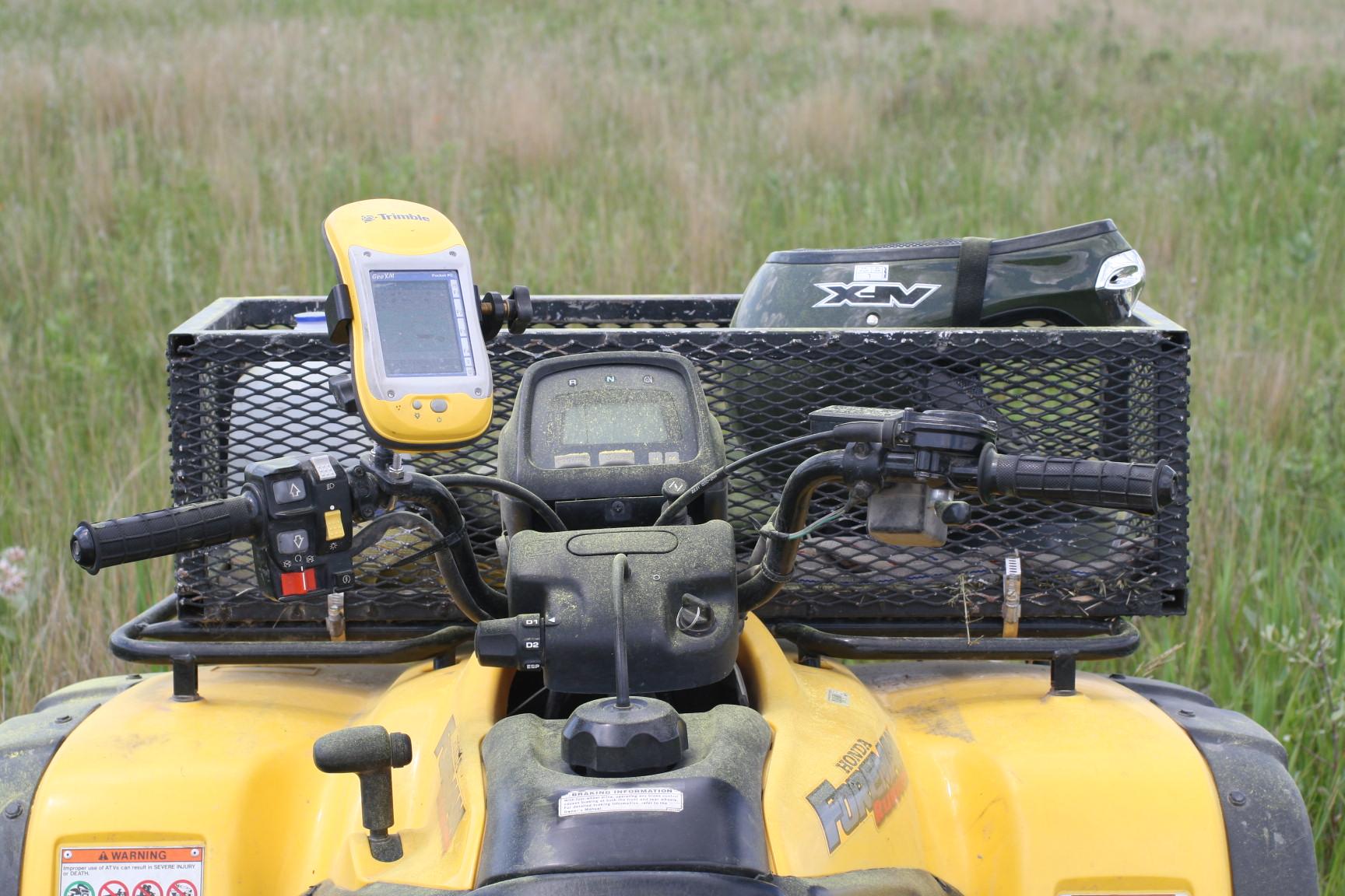
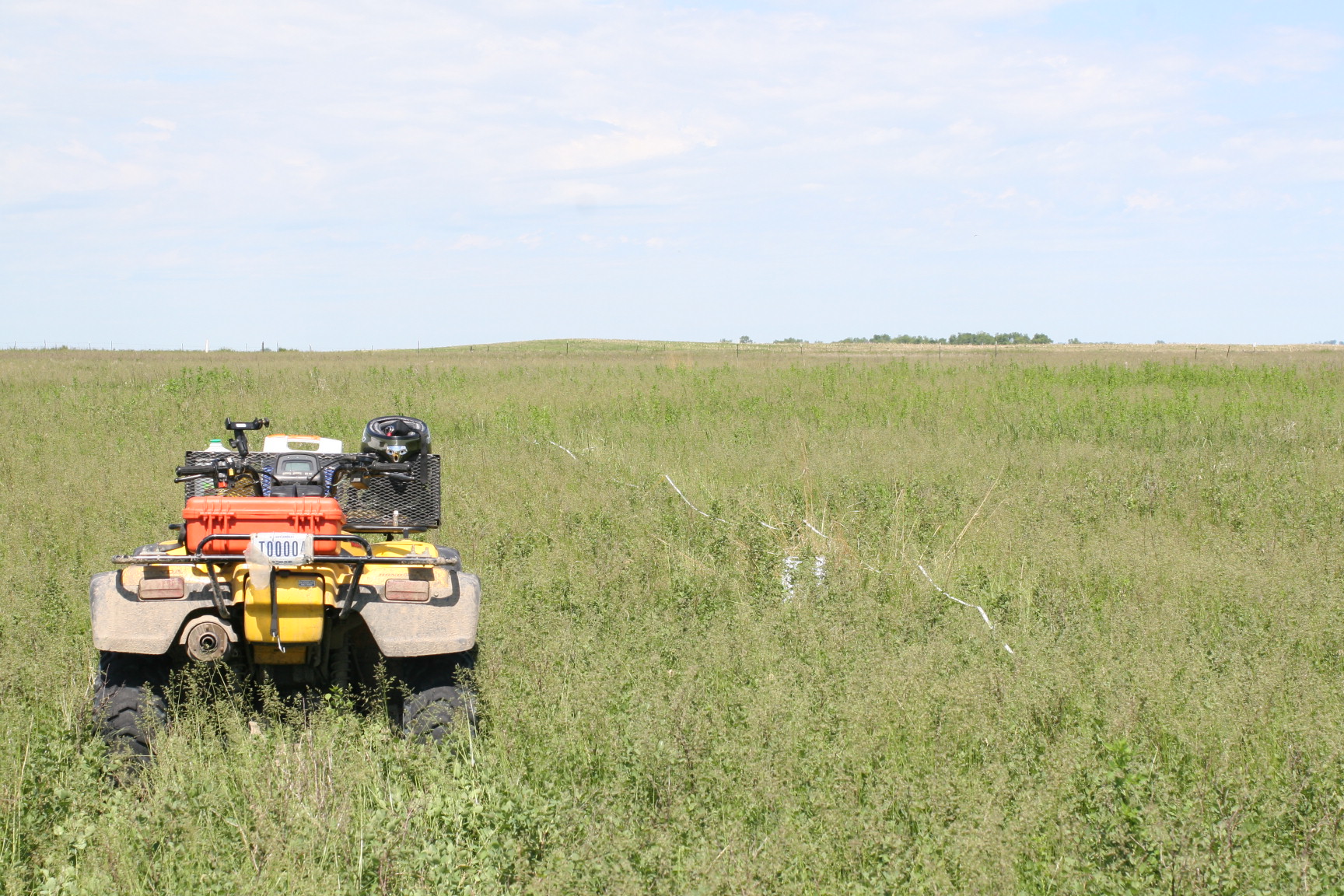
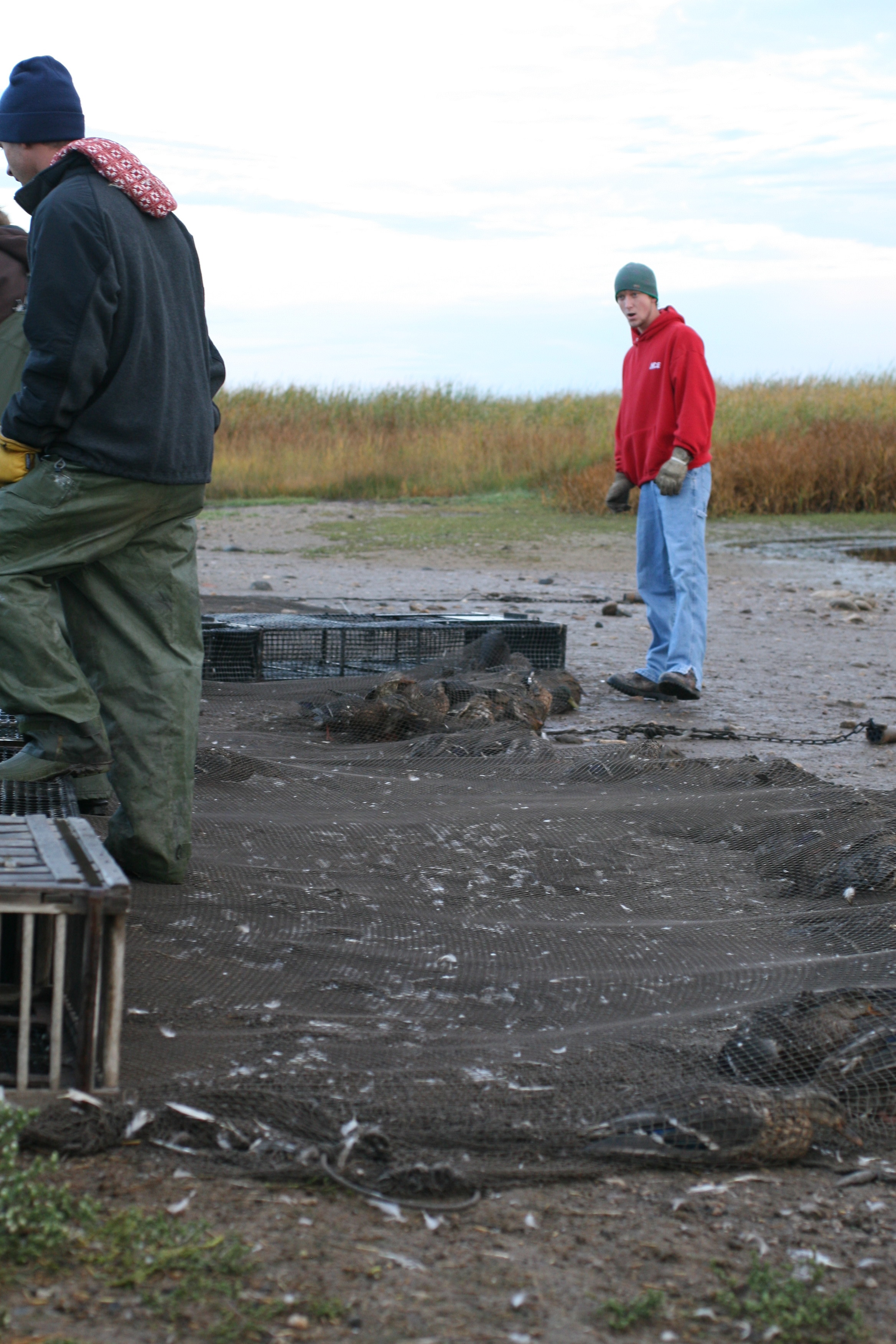
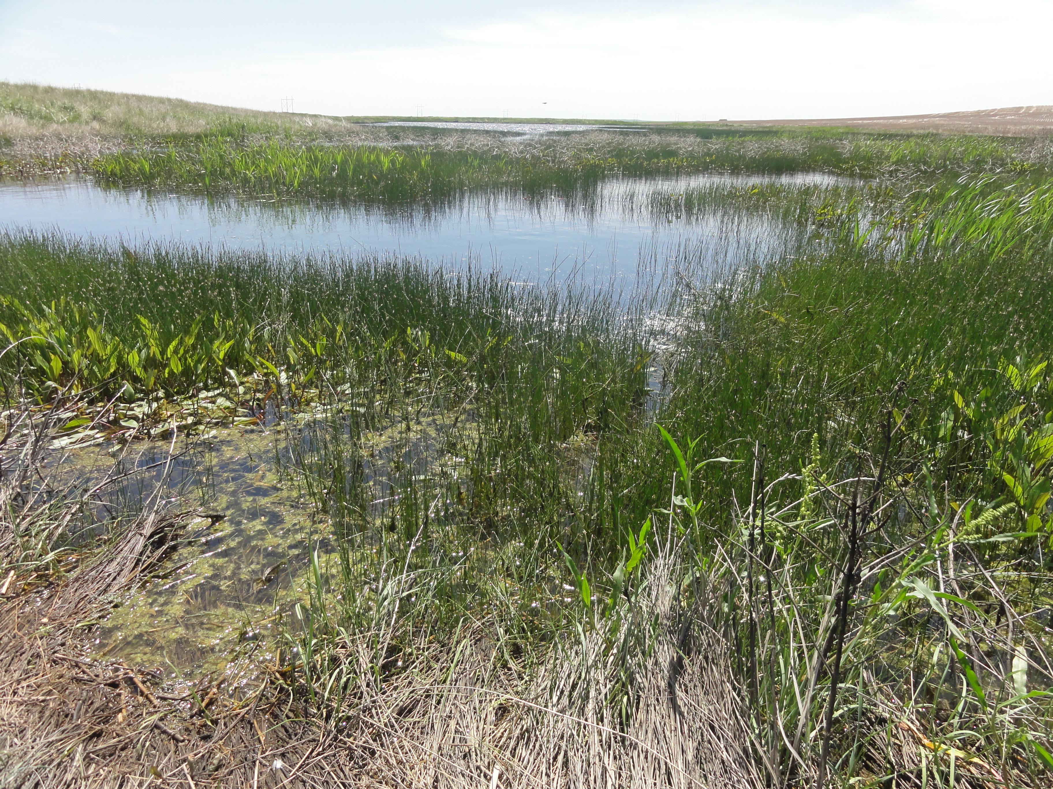
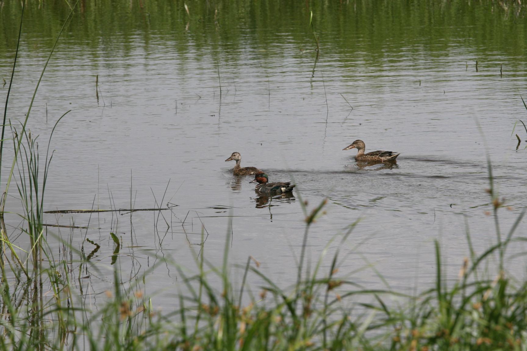
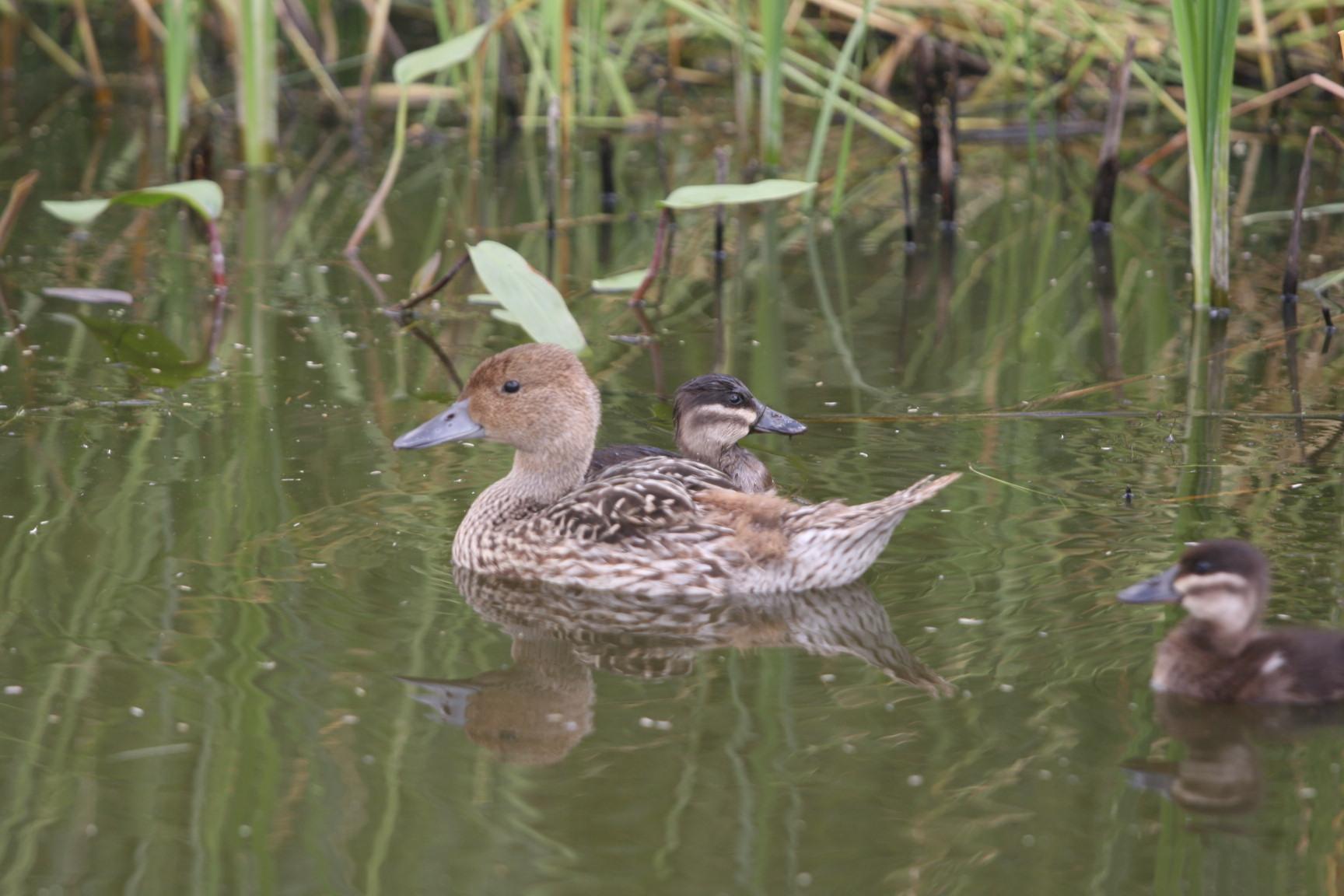
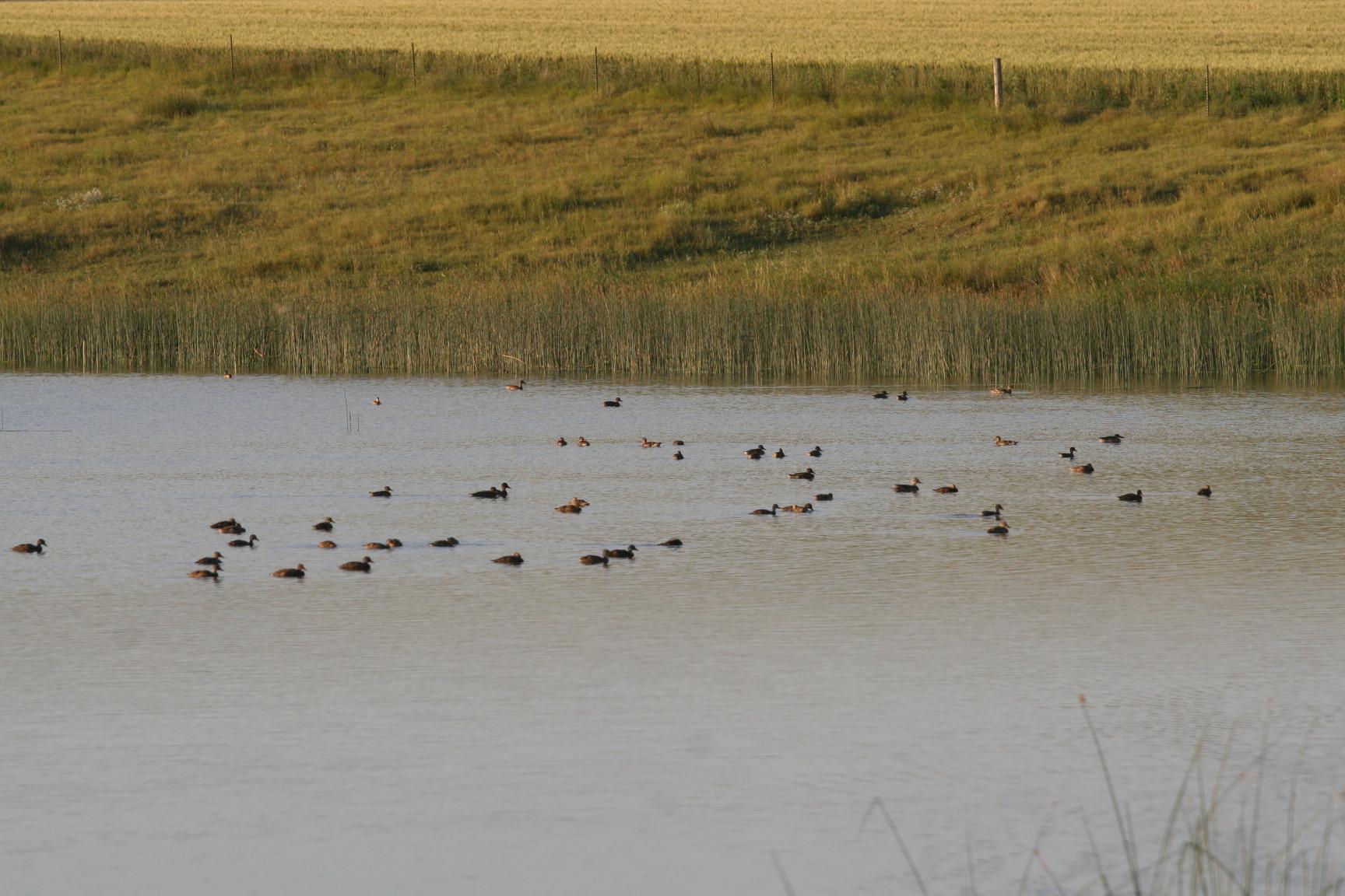
When I was working with the Bismarck USFWS office, the Habitat and Population Evaluation Team (HaPET) was in charge of surveying waterfowl populations on the Partners of Fish and Wildlife (PFW) dam program. This partnership program allowed government subsidies and help building dams to trap water on the landowners property to provide irrigation and water for grazing animals. Since the USFWS was able to provide this service, an agreement was made that these dams be accessible at any time to the government staff to come out and access the condition of the structure. The HaPET office used this agreement to conduct waterfowl surveys to see if the PFW dams were providing duck nesting habitat.

Before we even started the survey work, members of the HaPET office called each and every landowner to get their permission for us to come out on their land during a set time frame. I was in charge of calling many of the landowners. I was the voice of the USFWS to these people, and they were sensitive to government involvement. We were able to get 90% of the landowners to agree to a visit, some with stipulations and some without. During our survey period, I would call each landowner the morning that we would be out there. Most were reachable, some where not.

A lot of the times, they wanted us to check in at their house, if the land was close. I was able to meet many people directly and left a very positive vibe about what we were doing. Many invited me in for coffee and we would talk about any waterfowl they might have seen in the area. I really enjoyed those talks, and occasionally I would get one to ride along with me while I was doing the survey work.

There were some times where it didn’t go so smoothly, but in those cases, admit you are wrong and do anything and everything possible to change their attitude. We only lost one landowner permission during the two years I did this work. I think we did a heck of a job in a potentially dangerous situation.

Belt Transect

While I was working at the Arrowwood National Wildlife Refuge (NWR), I employed the belt transect method on Waterfowl Production Areas (WPA), Wildlife Management Areas (WMA), wilderness areas, and native prairie areas on the Arrowwood NWR. The surveys started in arcMap, where I plotted random points within the bounds of the park determined by the acreage of the management area. After the placement of those points, I then created random directional lines (bearing headings) coming off the points.

Belt Transect
ATV with Trimble Unit en route to GPS point

In the field I would go to the random point using a Trimble GPS unit and find the bearing using a compass. Then a 20 meter long tape was run in the heading direction of the plotted line. Along the line, each meter, I would develop invisible quadrants one meter by one meter. In each of those quadrants I had to look at the makeup of the plants and forbs and determine what percentage of that quadrant was being inhabited by native prairie plants, or invasive grasses and forbs.

IMG_3870
20 meter tape belt transect method

During this time, I usually had a conservation corps volunteer recording the data as I scoured along the transect line. I would call out a designation number, such as 2 – Kentucky Blue, which meant that the greatest percentage of cover in the quadrant, was Kentucky Bluegrass.

IMG_3871
ATV and belt transect line laid on the right

During this job I learned quite a lot on identifying forbs and grasses. I started creating a ligule guide, but couldn’t find all the grass species I needed to make a complete catalog. The ligule is the portion of a grass stem where the leaf extends away from the stem. This sheath portion is called the ligule.

The ligule is the portion of the sheath that extends above the green tubular section

Another part of that job was identifying forbs. I took many pictures of all sorts of forbs. You can find them here in another post.

Four Square Mile Survey

For the three summer TERM employment opportunities I had with the USFWS, I participated in the four-square-mile breeding waterfowl survey (FSM). These are incredibly fun surveys to do, and I hope to be able to do more of them in the future. I got to canoe down a water basin with a partner and identify wetland birds and waterfowl as we paddled down a lazy stream. I even got  to do it from an air boat at the Arrowwood NWR one time. That was a difficult one as the birds were scared up by the boat and started circling the body of water.

I also was able to participate in some rocket netting in North Dakota on a wildlife preserve. It was quite fun, and we didn’t decapitate too many individuals. Many of the birds got banded, but a lot just had to be tallied and let go.

survey
The aftermath of rocket netting

The FSM survey entails recording pairs of breeding pairs of waterfowl or wetland birds and whether or not they are hatch year, or after hatch year (determined by plumage) in a four square mile area. See some images below on what a typical wetland looks like in North Dakota and South Dakota.

A wetland with a lot of horsetails
ducks
Shovler top right, green wing teal left
Hatch year Pintail and Ruddy duck
Several waterfowl on a wetland in the prairie pothole region
A typical scene for counting breeding pairs of waterfowl on a wetland in the prairie pothole region

Feasibility Study: Hydrogen Fuel Cell Power System for a Crewed Base Space Station

While attending Bismarck State College, I applied for a summer grant program with North Dakota Space Grant Consortium (NDSGC), and was accepted as part of the North Dakota Space Training and Research (ND STaR) program. It serves as a NASA exposure program where we developed a mock feasibility study and presented it at the end of the program. I was paired up with Mike Holmes at the Environmental and Energy Research Center (EERC).

During the grant period, I lived in Grand Forks, ND and worked at the EERC doing literary research on fuel cell systems for the integration into a crewed base space station (like a mars or lunar base). After I had a fair deal of research completed, the EERC sent me to Johnson Space Center (JSC) in Houston, TX where I met up with system integration specialists and was able to propose my ideas to them. It was a wonderful experience and I got to go on an inside tour through the facilities at JSC.

Once I had a white paper completed, Mike Holmes and I worked on a poster presentation and a 15 minutes televised speech. I gave the speech in front of a large audience and cspan cameras. I could not have gotten as far as I did without the help of the EERC staff.

Fuel Cell Integration

Check out the Aurora NDSGC flyer for the spring semester 2004. I’m listed towards the middle.

Also, while I was working on the feasibility study, they were able to get me a few extra bucks working in a lab with Ron Kulas reforming ethanol across various mediums to reform the ethanol into usable hydrogen. Our primary catalyst was platinum.

Etoh reformation hydrogen
Etoh reformation and hydrogen production in time


Electroshock Fishing

Electroshock fishing is a fine art. Turn up the power too much and the muscles contract so hard you kill the fish, but not enough power and it doesn’t do anything. While I was attending Minnesota State University: Moorhead (MSUM), we used a backpack electroshock fishing setup to collect fish samples throughout some of the close by lakes.

Enjoy this wikipedia article on electrofishing. Also, this youtube video.

Learning Through Life