Land cover survey work is pretty dead simple, but you have to be able to identify all the different farm crops and ecosystems throughout North Dakota and South Dakota. My primary area of survey was West River, meaning west of the Missouri River.
The National Land Cover Database (NLCD) requires that the data be updated occasionally, and I had the pleasure of being one of the technicians that were able to perform this survey.
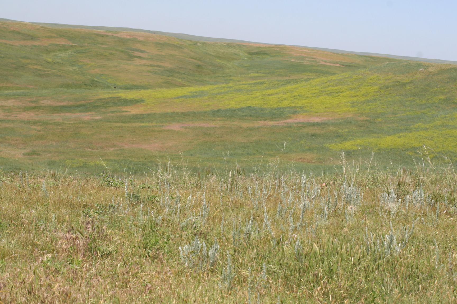
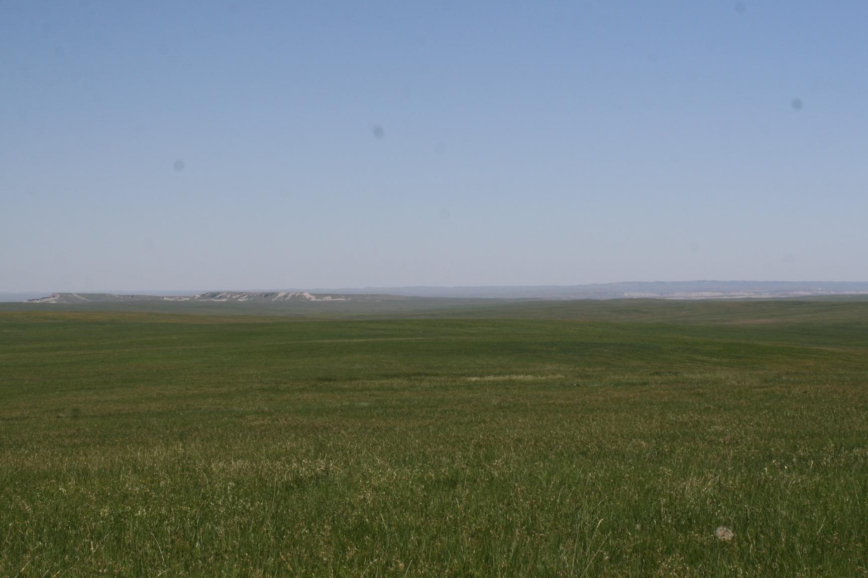
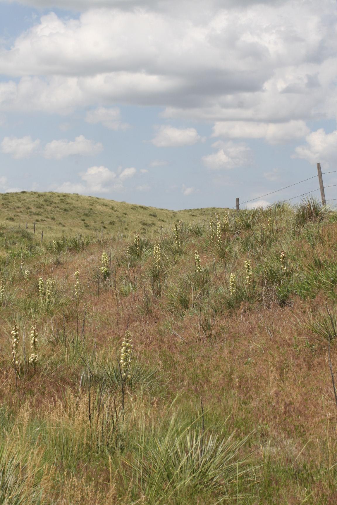
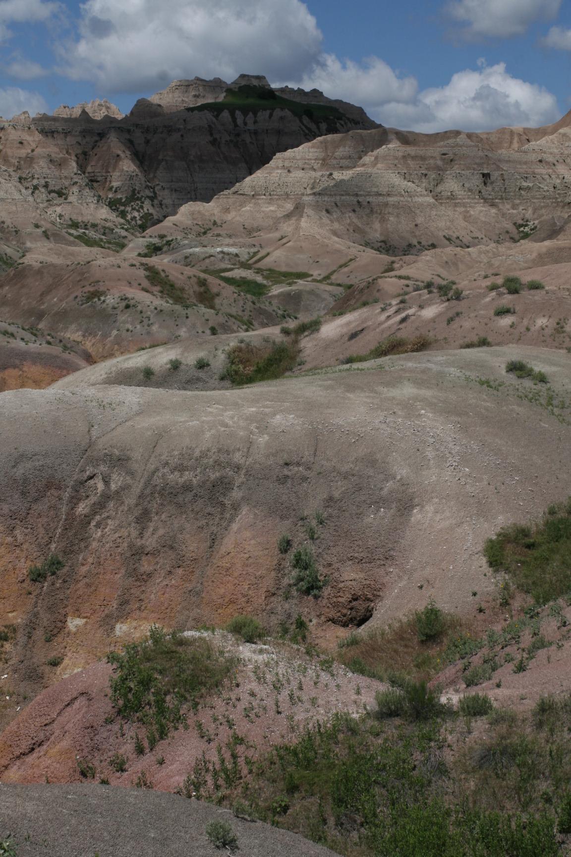
It consisted of driving to a random smattering of points and recording what the land cover use was. This was one of my favorite surveys because I got to go into very remote areas of ND and SD. The Dakotas have expansive grassland areas where you can get so removed from civilization you don’t see power lines, phone lines, homes, or even roads. Buffalo Gap National Grassland and the Little Missouri National Grasslands are two of the notable big ones.
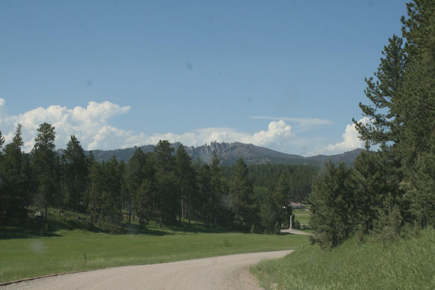
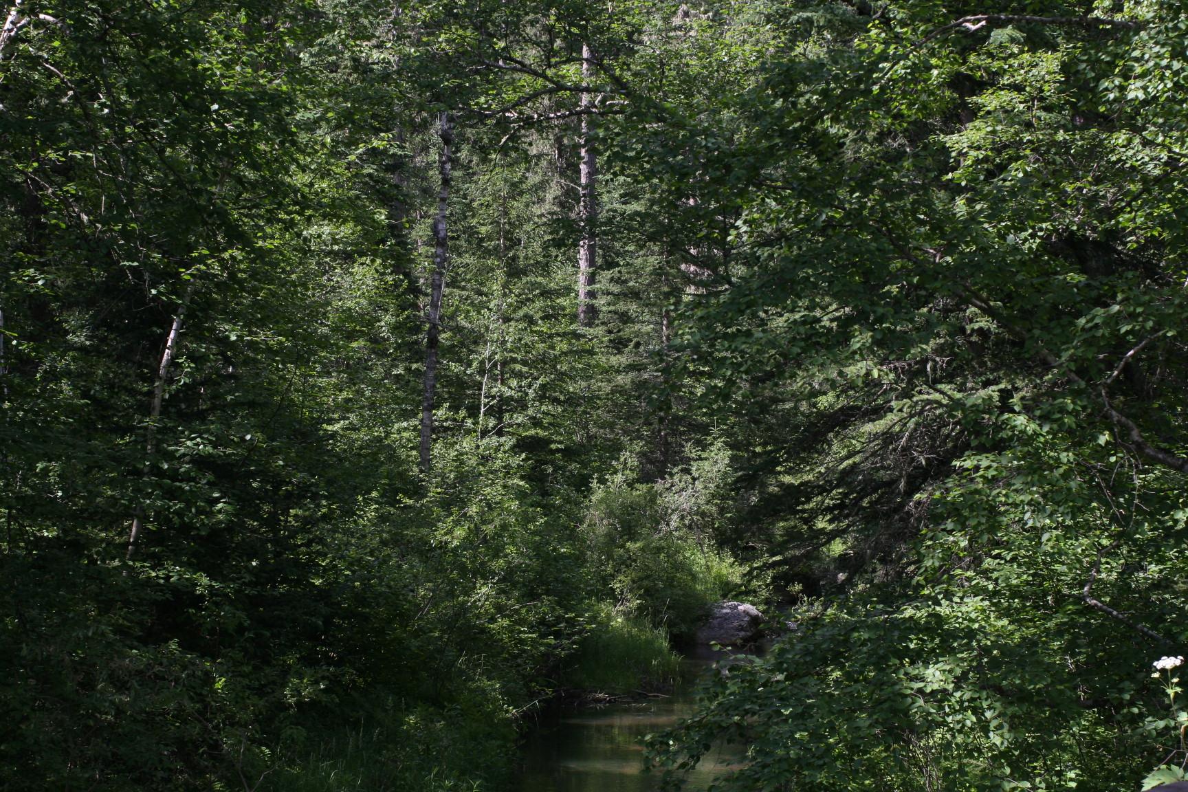
I also got to truck through some of the forest service roads in the Black Hills of SD to record data. Since I’m an accomplished 4×4 driver, I wasn’t hesitant about doing so. There were several times that I ran across ATV riders who couldn’t believe I got such a large vehicle into some of the spots I had to make it into.
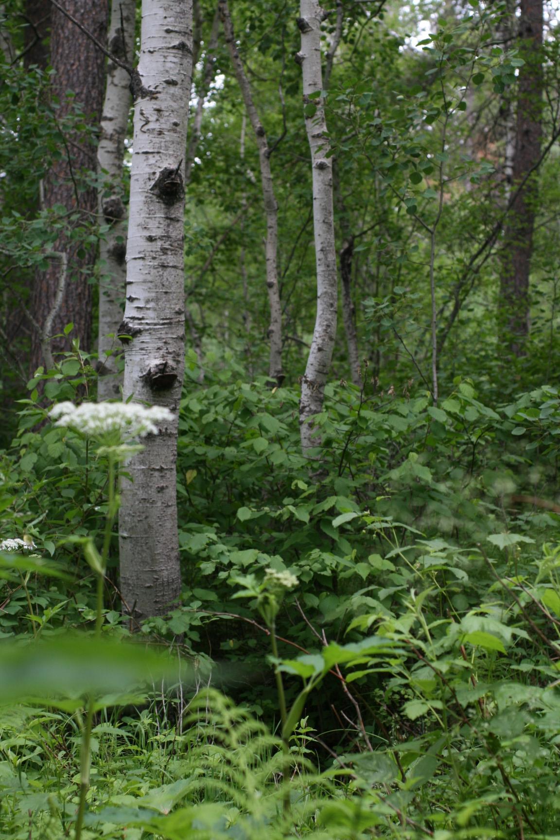
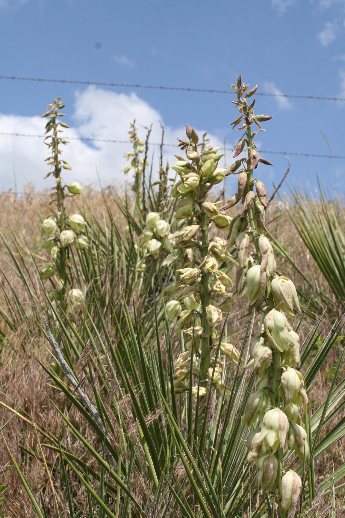
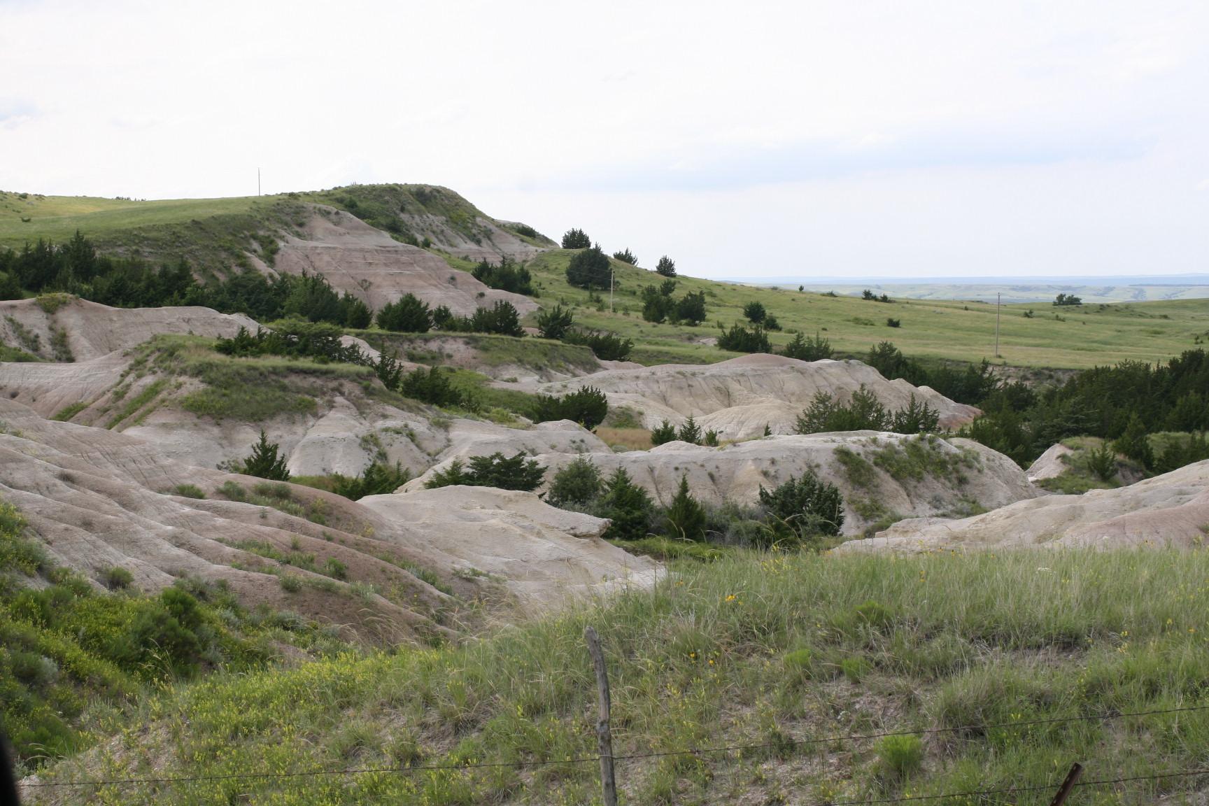
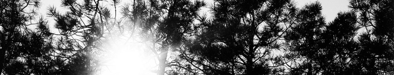
Take note of all the different ecosystems you see in the pictures below. ND and SD have a lot of very beautiful and scenic landscapes.